By improving mobile measurements of air quality and geolocating them to sites like highways, buildings, parking lots and green spaces, Aigbekaen’s research for his Princeton University senior thesis unveils critical information that could help cities become cleaner and more livable. He put the technology through its proof-of-concept stage in suburban central New Jersey.
“This kind of technology gives us new ways to understand our environment and the dynamic interactions of pollution, built spaces and transportation,” said Aigbekaen. “It’s hard to make decisions about cutting carbon emissions or other pollutants without the technology to monitor and measure them.”
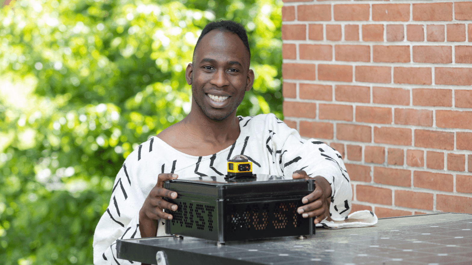
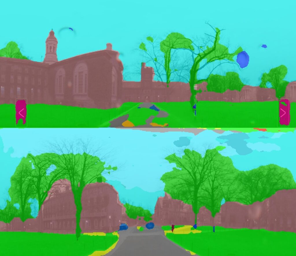
Affixed to the car with four powerful magnets was a metal box containing a suite of solar-powered sensors to measure pollution, noise, temperature and humidity — topped by a camera taking nearly 360-degree images of the car’s surroundings.
An electrical and computer engineering major with a passion for studying and improving urban spaces, Aigbekaen designed his thesis research to integrate images in new ways with air and noise pollution data, opening possibilities for investigating environmental quality at hyperlocal scales.
Many large cities around the world are studded with air quality monitoring stations, but these have limited ability to track dynamic, fine-scale differences in conditions tied to traffic, green space, buildings or industrial facilities. This type of monitoring is also relatively rare in developing countries, Aigbekaen noted.
“Cities are always changing and evolving, and the sensing nodes, by being in a fixed position, can’t really capture that flux and change,” said Aigbekaen, who also earned a certificate from Princeton’s Program in Architecture and Engineering. Aigbekaen grew up in Dracut, Massachusetts, about 30 miles northwest of Boston, and said he was always captivated by the vibrance and varied architecture of the city.
By developing technology to sync images with air quality data, he hopes that future work can provide new insights into what factors lead to poor air quality, noise pollution or heat islands, as well as point to strategies to mitigate these problems. For example, said Aigbekaen, areas near highways or busy roads that also have lots of trees may have lower carbon dioxide levels than similar spaces without vegetation, but these effects need more study.
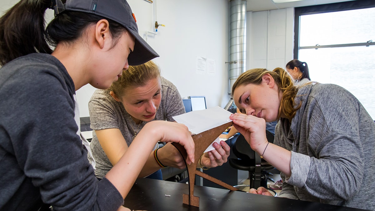
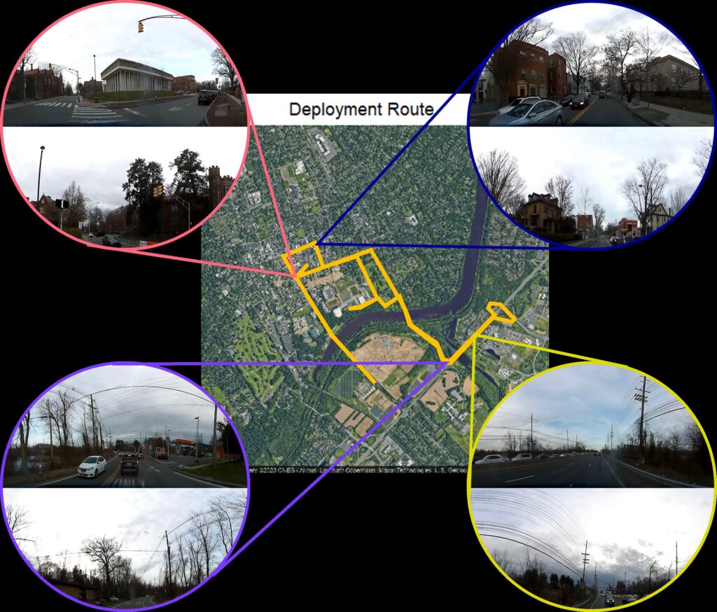
Over two days this spring, he collected around 200 data points on the Princeton campus and in the surrounding area as a proof of concept for integrating visual images with sensor readings, using his friend’s car and a University golf cart driven by a Facilities staff member.
Along with adapting software to transmit and store the data, Aigbekaen used a computer vision technique called semantic image segmentation to categorize all the pixels of each image as greenery, buildings, sky or vehicles. Then he used computational modeling to assess how well the composition of an image could predict levels of CO2, particulate matter and noise pollution.
Even with a relatively small data set as its input, his model was surprisingly effective, especially at predicting CO2 levels, with just a 2.5% average error rate when using all the available image categorizations. The results “highlighted the utility of this approach — of using all these different environmental metrics for monitoring,” said Aigbekaen.
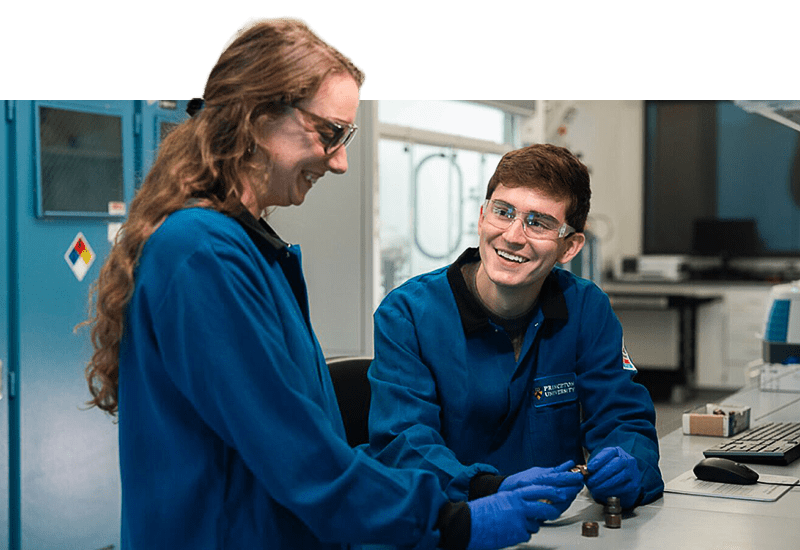
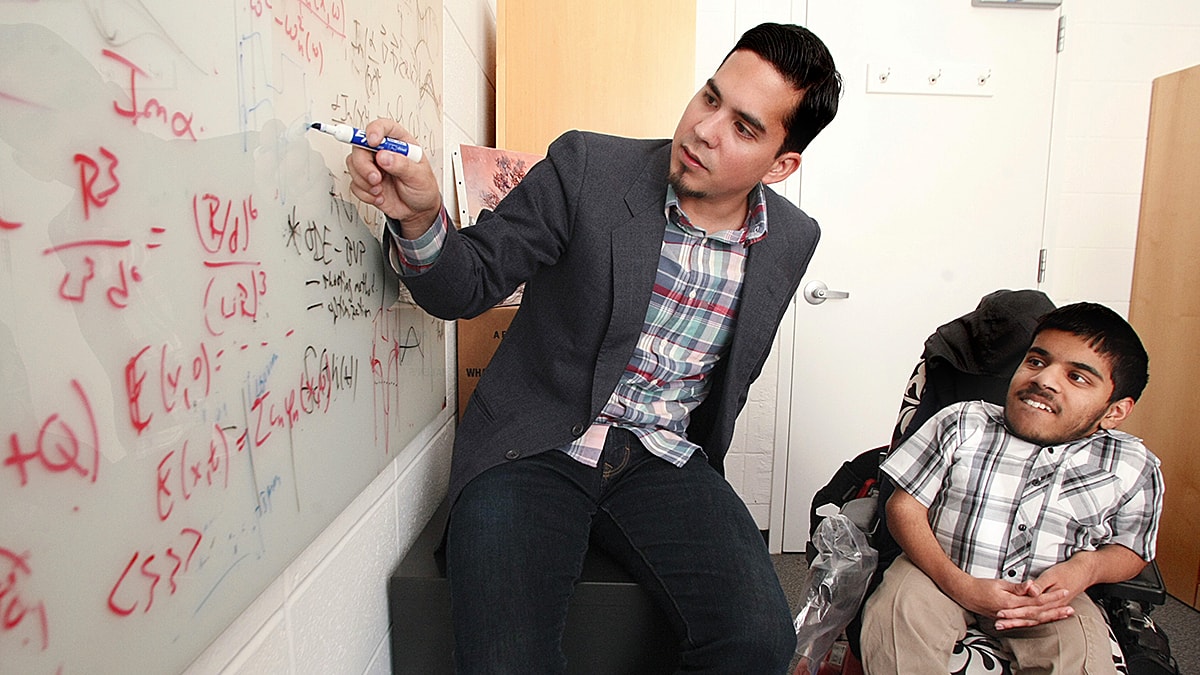
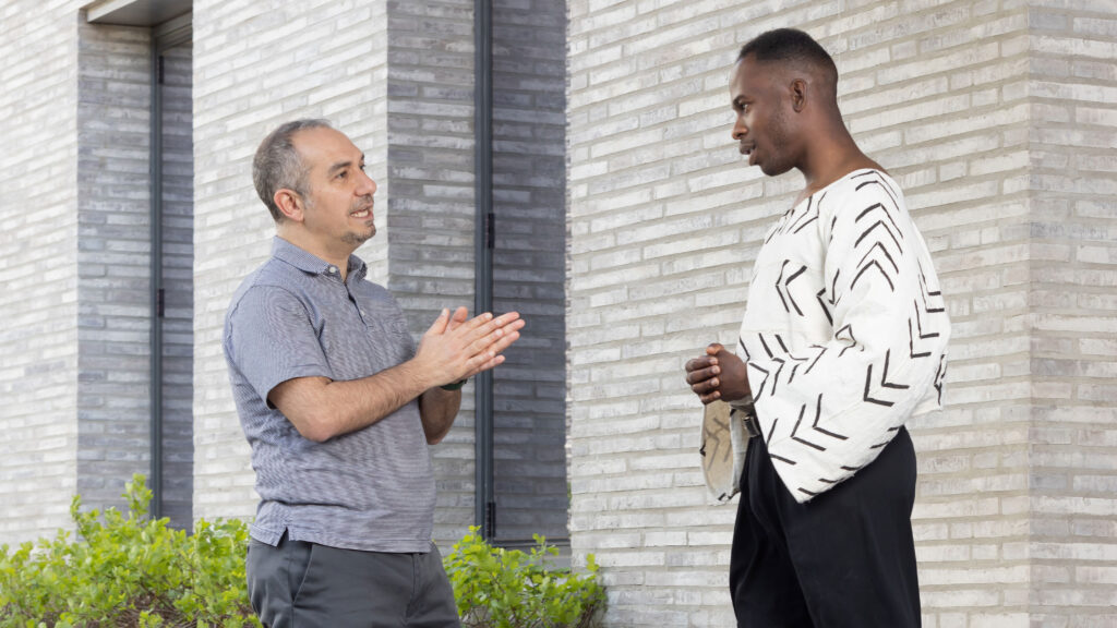
His advisers on the project were Elie Bou-Zeid, a professor of civil and environmental engineering, and Gerard Wysocki, an associate professor of electrical and computer engineering. Last year, Aigbekaen took a course on environmental sensing systems with Wysocki that sparked his interest in the topic.
His thesis builds on previous work by Bou-Zeid and Maider Llaguno Munitxa, a postdoctoral researcher who led the design of the first Mobile Urban Sensing Technology (MUST) kit consisting of low-cost, autonomous air pollution and weather sensors. The research team deployed the kit around New Jersey, New York City and Seoul, South Korea, and created a mobile app allowing easy access to the data.
Their original work won an urban technology design award in 2019, but Bou-Zeid paused this line of research for a few years, in part due to the COVID-19 pandemic. Now, he’s keen to enhance the technology’s capabilities to glean more actionable information, especially as mobility patterns shift and we transition from gasoline-powered to electric cars. Aigbekaen’s work, he said, has built a strong foundation for the project’s next phase.
“What we want to do now is not only map the environmental quality in a city — we also want to understand why we are measuring bad air quality or high temperatures,” said Bou-Zeid, who also investigates the dynamics of urban heat islands. “And to do that, we need to see the surroundings.”
Aigbekaen also envisions a more compact sensing kit that could even be worn on someone’s clothing, coupled with software for real-time visualization of environmental conditions. He thinks the low cost of the technology could help empower communities that have been overlooked by pollution monitoring.
“I think it’s important for all communities to be able to assess the state of their environment,” he said, “and to have the most accurate information in order to address challenges in a data-driven way.”
Aigbekaen’s project involved a number of adaptations to the existing kit, including updating the sensors’ microcontroller from one brand to another, then figuring out a workaround for a part that was out of stock.
His solution involved using two controllers to relay the data to a cloud storage system. “He almost had to remake the kit,” said Bou-Zeid. Upgrading the microcontroller and adding the camera involved a good deal of hardware and software engineering. “He is confident and creative in solving problems.”
In addition to overcoming obstacles in his research, running hurdles as a member of the men’s track and field team has been a key part of Aigbekaen’s experience at Princeton.
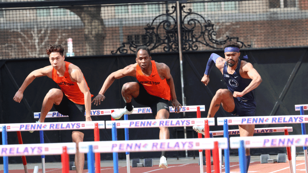
“The aspect I enjoy about track, beyond winning or losing, is being able to show up every day with a group of people and work on yourself physically, and also form bonds and connections through the struggle of running and hard workouts.”
During his time at Princeton, the Queer Student-Athlete Collective and the Princeton Track Black Athlete Network have been invaluable support networks, both personally and professionally, said Aigbekaen. The latter connected him with a Princeton alumnus who helped him think through the next steps in his engineering career.
Later this year, Aigbekaen will begin a master’s program in sustainable design and construction at Stanford University. He said he is particularly interested in pursuing equitable solutions for all communities as renewable energy expands in the coming years.